Skip to content
Services et traitements des images aériennes
Twitter Facebook Linkedin
  • Français
  • English
DRONES IMAGING
  • Drones imaging
    • Who are we
  • images processing service
    • topographic service
    • thermographic service
    • agricultural service
    • automatic counting service
    • Use case
    • Product sheets
    • useful documentation
    • download guide
  • Trainings
    • training in photogrammetry metashape option
    • training in photogrammetry Pix4D option
    • Multispectral training
    • online photogrammetry training
  • Softwares
    • Agisoft Metashape photogrammetry software
    • Undet software
  • RTK Receivers
    • EMLID GNSS RTK Reach RS3
    • EMLID GNSS RTK Reach RS2+
    • Emlid GNSS RTK Reach RX
    • EMLID GNSS RTK Reach RS+
  • Sensors
    • Agrowing Multispectral cameras
  • News
  • Contact us
  • Toggle website search
Menu Close
  • Drones imaging
    • Who are we
  • images processing service
    • topographic service
    • thermographic service
    • agricultural service
    • automatic counting service
    • Use case
    • Product sheets
    • useful documentation
    • download guide
  • Trainings
    • training in photogrammetry metashape option
    • training in photogrammetry Pix4D option
    • Multispectral training
    • online photogrammetry training
  • Softwares
    • Agisoft Metashape photogrammetry software
    • Undet software
  • RTK Receivers
    • EMLID GNSS RTK Reach RS3
    • EMLID GNSS RTK Reach RS2+
    • Emlid GNSS RTK Reach RX
    • EMLID GNSS RTK Reach RS+
  • Sensors
    • Agrowing Multispectral cameras
  • News
  • Contact us
  • Toggle website search

Blog

  1. Home>
  2. geomatics>
  3. Ministry of the Armed Forces – Training course in photogrammetry option Building Information Model BIM

Ministry of the Armed Forces – Training course in photogrammetry option Building Information Model BIM

  • August 12, 2020
  • 10:13 am

photogrammetry training BIM option (Building Information Model)

Photogrammetry training BIM option carried out in two parts using the Agisoft Metashape software: 70 hours remotely and 3 days face-to-face at our head office in Ile de France.
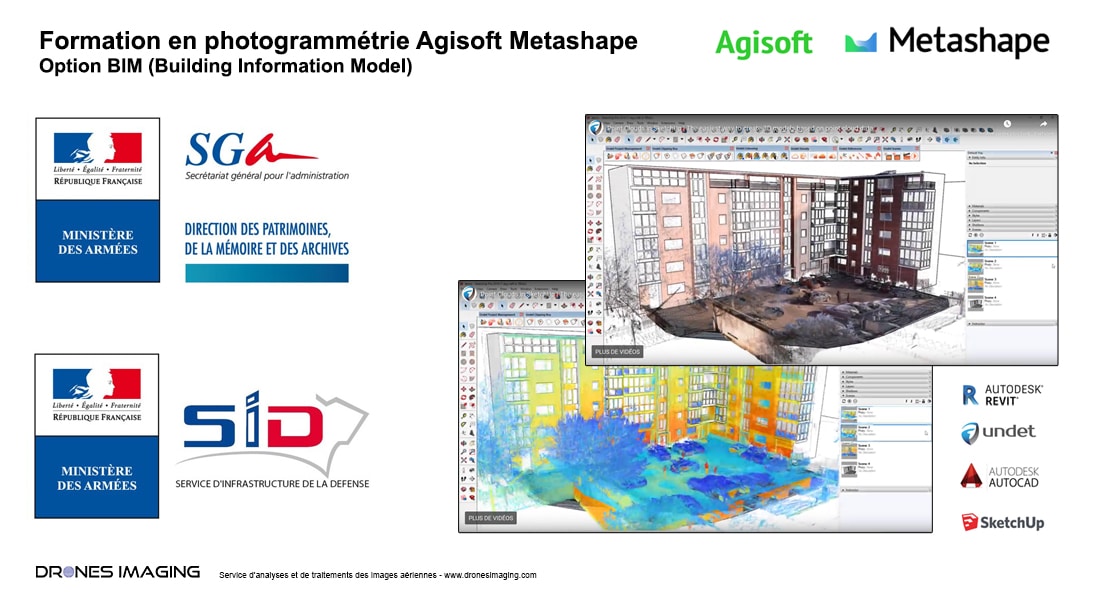
Training in photogrammetry BIM option

As part of its maintenance and administration missions in the real estate sector of the Defense ministry, ESID (Establishment of the Defense Infrastructure Service) called on our expertise in photogrammetry to train its agents.

This personalized training (Building Information Model option) has enabled, within ESID, the internal deployment of a service specialized in digitization of buildings entirely dedicated to the management of armed forces infrastructures.

Thank you to ESID for its confidence and its contribution to promoting this new profession of photogrammeter, which has become essential in the digital transformation within the various departments and construction industry players.

About our training in photogrammetry

PrevPrécédentLe Castellet – Survey and topographic map of the Paul Ricard racing circuit made by drone and aerial photogrammetry
SuivantDam inspection – Topographic survey and disorders detection made by drone and aerial photogrammetryNext
  • Mentions légales
  • Français
  • English