AGISOFT METASHAPE expert and official French dealer
Agisoft Metashape is the best photogrammetry software to build 2D and 3D data usable by all types of GIS and CAD software. It is mainly used in research, defense and security, surveying, transportation, mining and quarrying, utilities, 3D design, agriculture and forestry. See our 3D gallery.
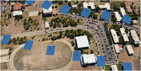
Processing of various types of imagery: aerial (nadir, oblique), close-range, satellite.
Auto calibration: frame (incl. fisheye), spherical & cylindrical cameras.
Multi-camera projects support.
Scanned images with fiducial marks support.
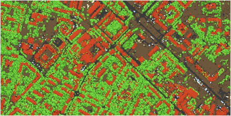
Dense point cloud: editing and classification
Elaborate model editing for accurate results.
Automatic multi-class points classification to customize further reconstruction.
Import/export to benefit from classical point data processing workflow.
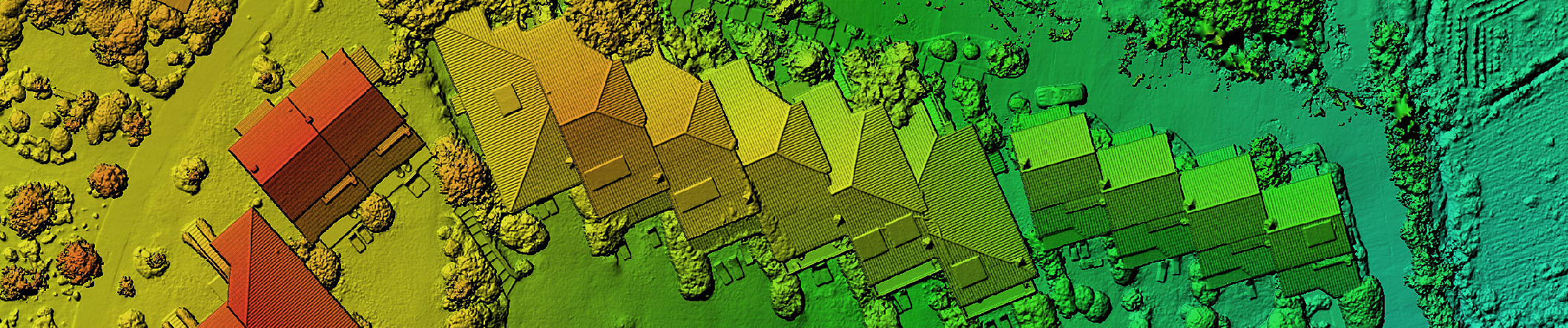
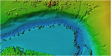
Digital elevation model: DSM/DTM generation
Digital Surface and/or Digital Terrain Model.
Georeferencing based on EXIF meta data/flight log, GCPs data.
EPSG registry coordinate systems support: WGS84, UTM, etc.
Configurable vertical datums based on the geoid undulation grids.
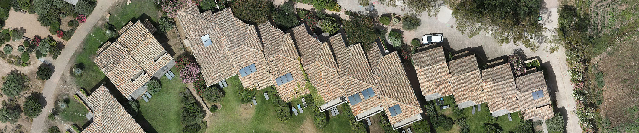
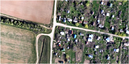
Georeferenced orthomosaic generation
Georeferenced orthomosaic: most-GIS-compatible GeoTIFF format; KML files to be located on Google Earth.
Export in blocks for huge projects.
Color correction for homogeneous texture.
Inbuilt ghosting filter to combat artefacts due to moving objects.
Custom planar and cylindrical projection options for close range projects.
Terrestrial laser scanning (TLS) registration
Simultaneous adjustment of both laser scanner and camera positions.
Capability to combine TLS and photogrammetric depth maps.
Markers support and automatic targets detection for manual alignment of scanner data.
Masking instruments to ignore unwanted objects in scanner data.
Measurements: distances, areas, volumes
Inbuilt tools to measure distances, areas and volumes.
To perform more sophisticated metric analysis the products of photogrammetric processing can be smoothly transferred to external tools thanks to a variety of export formats.
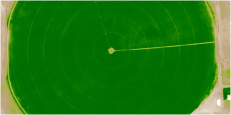
Multispectral imagery processing
RGB/NIR/thermal/multispectral imagery processing.
Fast reconstruction based on preferable channel.
Multichannel orthomosaic generation and user-defined vegetation indices (e.g. NDVI) calculation and export.
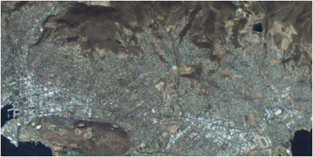
Satellite imagery processing
Common processing workflow for panchromatic and multispectral satellite images is supported, provided that sufficiently accurate RPC data is available for each image.
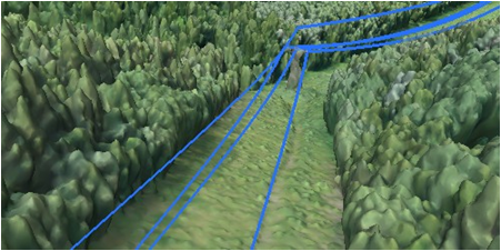
Automatic powerlines detection
Straightforward and time-efficient for large-scale projects since requires only aligned images as the input.
Results export in a form of a 3D polyline model for every wire.
Robust results thanks to catenary curve fitting algorithm.
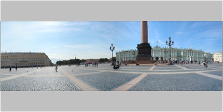
Panorama stitching
3D reconstruction for data captured from the same camera position — camera station, provided that at least 2 camera stations are present.
360° panorama stitching for one camera station data.
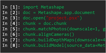
Python and Java API
In addition to Batch processing – a way to save on human intervention, Python scripting and Java bindings suggests for sophisticated automation and customization options. Starting from the adding custom processing operations to the application GUI up to the complete job automation and integration to Python or Java pipeline.
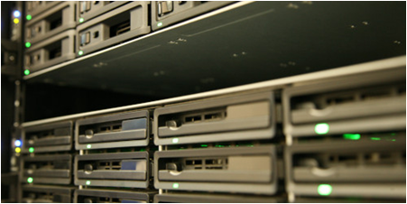
Network processing
Distributed calculations over a local computer network to use combined power of multiple nodes for huge data sets processing in one project.