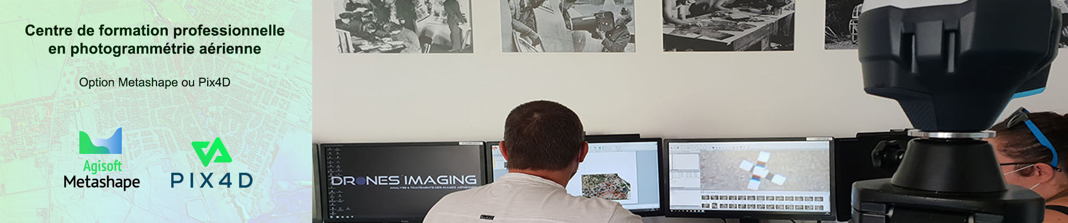
Closed to Paris, our organization provides monthly training using AGISOFT METASHAPE or PIX4D software while following personalized educational programs according to your professional objectives.
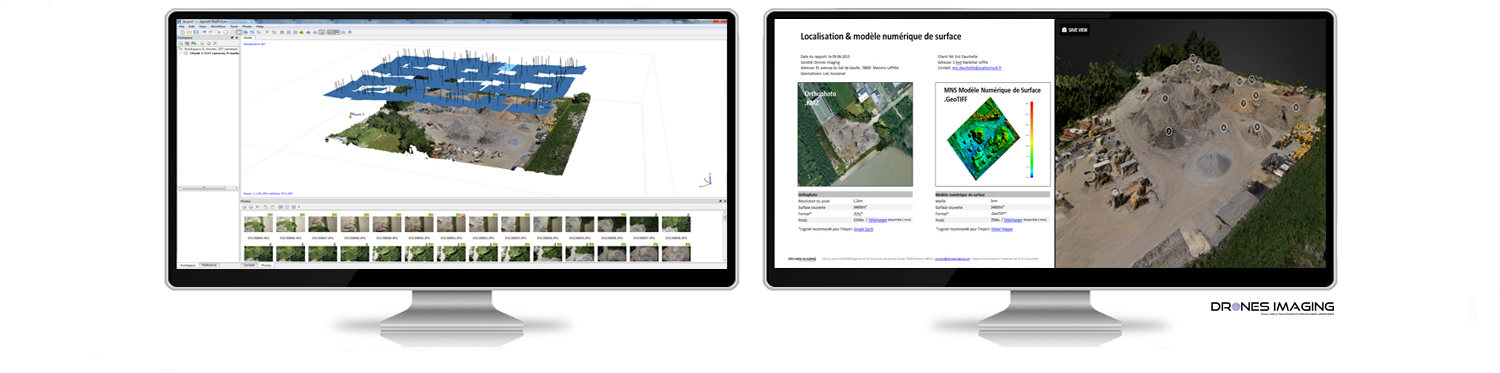
Our photogrammetry trainings (Metashape or Pix4D option) are provided in the classroom by two qualified teachers: a geomatician analyst and a photogrammetric surveyor. A workstation, latest version software, RTK receiver and cameras are lent to each student during our training in the office.
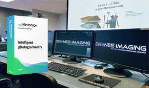
Duration: 70 hours remotely + 3 days face-to-face.
Candidates: drone pilots, geomaticians, topographers, surveyors, architects, engineers, academics, soldiers and all 3D enthusiasts.
Objectives: Understand the basics of photogrammetry as well as different images capture strategies. Master the settings of Metashape software to perform professional services. Know how to analyze your geospatial productions with related software such as Qgis, Global Mapper or Cloud Compare.
Practical work carried out throughout the training from land and air data sets taken by drone, helicopter, microlight and plane.
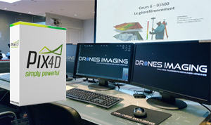
Duration: 70 hours remotely + 3 days face-to-face.
Candidates: drone pilots, geomaticians, topographers, surveyors, architects, engineers, academics, soldiers and all 3D enthusiasts.
Objectives: Understand the basics of photogrammetry as well as different images capture strategies. Master the settings of Pix4D software to perform professional services. Know how to analyze your geospatial productions with related software such as Qgis, Global Mapper or Cloud Compare.
Practical work carried out throughout the training from land and air data sets taken by drone, helicopter, microlight and plane.
Candidates: drone pilots, geomaticians, academics, teachers, researchers, agricultural engineers with prerequisites in photogrammetry.
Objectives: Understand fundamentals of remote sensing and multispectral imagery for professional applications related to the study of plants. Know how to use GIS software such as Qgis or Global Mapper to isolate, classify or measure vegetation health with NDVI index and others.
Practical work carried out throughout the training from land and air data sets taken by drone, helicopter, microlight and plane.
Drones Imaging perfects its training by regularly producing practical and educational updates for continuous access to the latest software features.