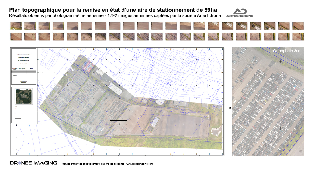
Survey map of a parking area built by drone and aerial photogrammetry
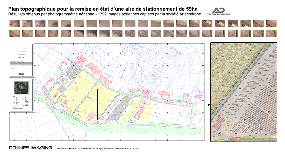
Autocad road plan of a parking area produced by drone and aerial photogrammetry.
Standardizes autocad road plan of a 59ha parking made from orthophoto and Digital Terrain Model (DTM).
Results obtained with 1792 aerial images taken by Artech’Drone company.
Survey plan made for the future rehabilitation of a car park
Above and in its final version, the Autocad plan totaling more than 140km of polylines drawn by class: roads, ground markings, gutters, water drainage, buildings, enclosures, fences and vegetated areas.
Turnkey survey map delivered to the design and construction manager for future resurfacing and optimization of parking areas.