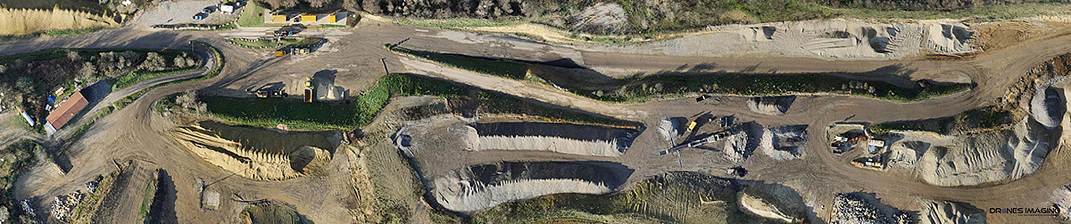
From aerial images taken according to photogrammetry standards, Drones Imaging provides you expertise in carrying out topographic surveys and editing topographic maps. We thus provide you with all the geospatial data useful to the construction, public works, earthmoving and mining industries. Entrust us with your images and we will process them as soon as possible.
Topographic survey
We build your geographical data
Orthomosaic (GeoTIFF, KMZ, ECW, JPG2000 and other formats).
Dense cloud (DWG, DXF, E57, LAS and other formats).
Dense cloud filtered by class (DWG, DXF, E57, LAS and other formats).
Digital Surface Model (GeoTIFF and other formats).
Digital Terrain Model (GeoTIFF and other formats).
Digital Slope Model (GEOTIFF and other formats).
Textured 3D model (Obj and other formats).
Orthophotos
Centimetric accuracy
Points cloud
Centimetric accuracy
DEMs
Centimetric accuracy
Slopes
Centimetric accuracy
3D model
Centimetric accuracy
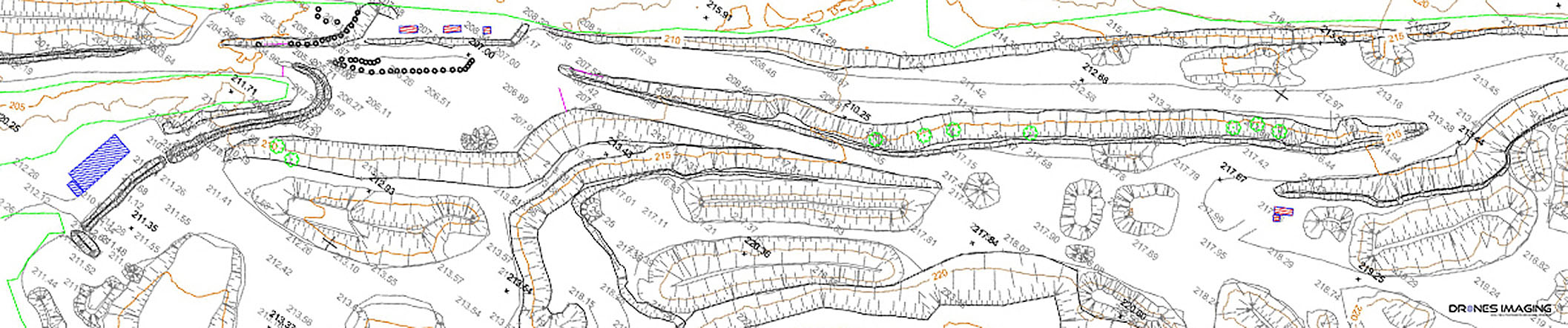
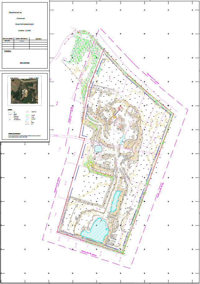
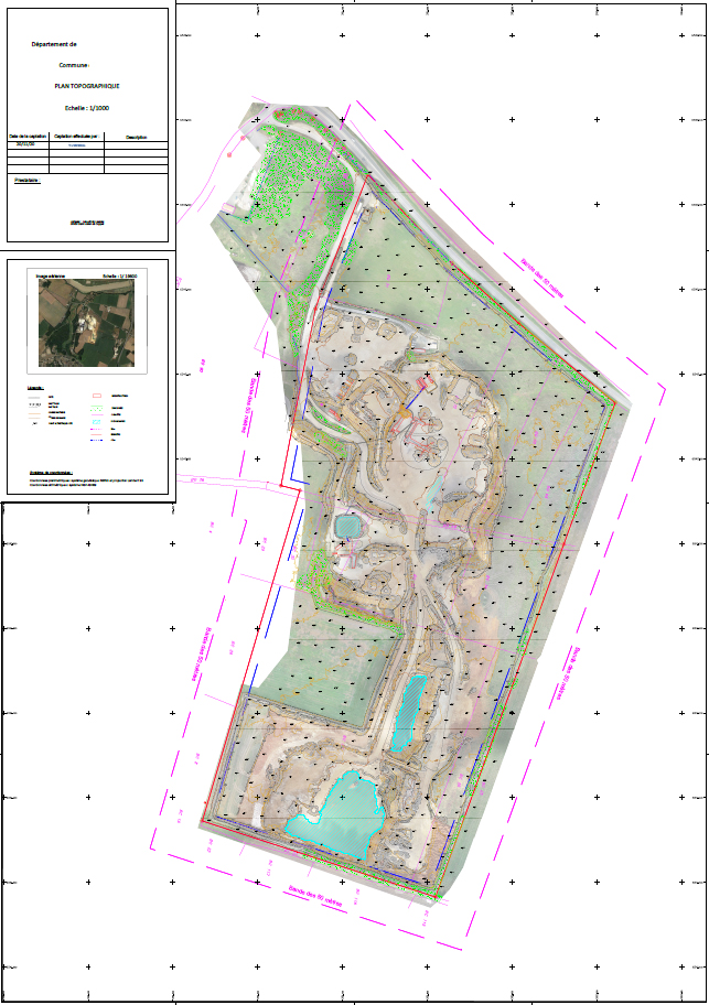
Topographic map
We manage your geographical data
2D/3D contour lines and breaking lines (DWG, DXF, SHP and other formats).
Tracks and associated slopes by color code (DWG, DXF, SHP and other formats).
Bench dimensions (DWG, DXF, SHP and other formats).
Rainwater runoff (DWG, DXF, SHP and other formats).
Color-coded security blocks (DWG, DXF, SHP and other formats).
Stocks volumetry calculation (DWG and PDF format).
Standardized topographic map (DWG and PDF format).