EMLID reach RX2
The new high-precision, all-band, ultra-compact, and ultra-light RTK rover with tilt compensation
The Emlid RX2, an all-band RTK rover receiver with advanced tilt compensation, ensures fast and stable signal reception, even in challenging environments such as urban areas or under dense vegetation.
1999€ technical support and training included


Download the Reach RX2 technical sheet

Accessories
Reach M2 649€

Extension 45€

Pole + phone mount 198€

Survey pole 169€

Bipod 139€

Tripod 148€

Tribach 227€

Key Features of the Emlid Reach RX2 Receiver
IMU tilt compensation for fast point capture or simply hard-to-reach locations

The RX2 ensures consistent centimeter-level accuracy, even when used at high tilt angles. It is ideal for performing measurements in challenging environments, whether near walls, along steep slopes, or in tight spaces where properly leveling the pole would be difficult.
This ability to maintain high accuracy, even in tilted positions, allows you to work faster and more efficiently in the field while ensuring reliable and precise results for every measurement.
Compatible and interoperable with Esri and other professional GIS applications

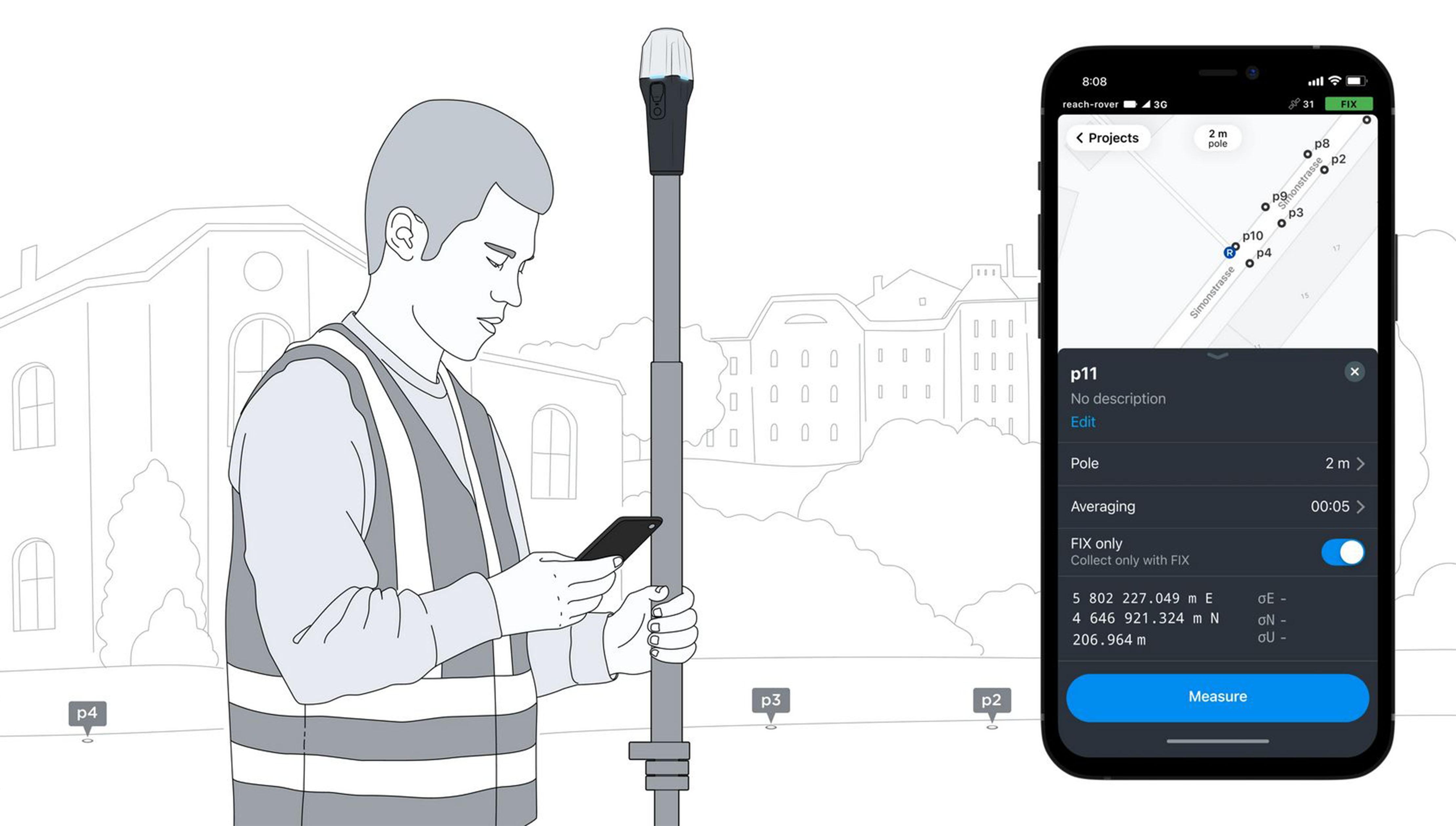
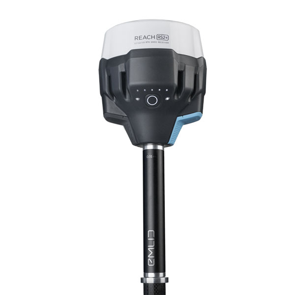
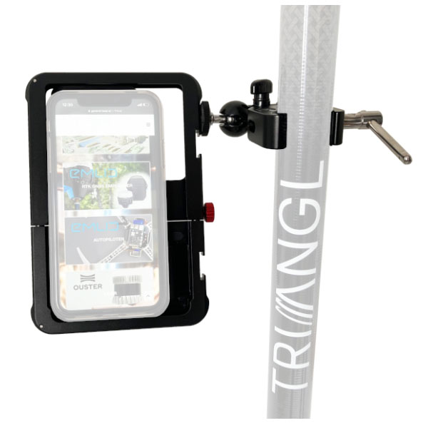
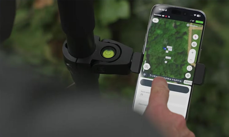
Easily integrate GPS data into your existing workflow.
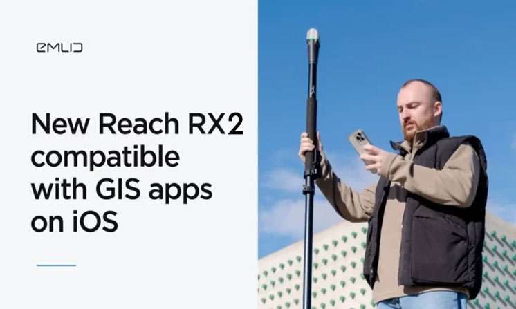
Thanks to its Apple MFi certification, the RX2 connects natively and reliably to iPhones and iPads, while also offering seamless compatibility with Android devices.
The RX2 supports all major data collection applications, including ArcGIS Field Maps, QField, Survey123, Mergin Maps, and many others—ensuring smooth integration into your field projects.
High-performance GNSS solution in wooded areas and dense cities

The RX2 receiver delivers centimeter-level accuracy, even in the most demanding environments, such as dense forests or urban areas. By leveraging all major GNSS constellations (GPS, GLONASS, Galileo, BeiDou, etc.) and their multiple frequencies, the RX2 minimizes the effects of multipath errors and interference, ensuring reliable and consistent positioning.
With its 672 channels, the RX2 can simultaneously track over 40 satellites, guaranteeing fast acquisition and optimal signal stability.

ChatGPT said:
With Point Collection, create custom GNSS projects by recording your points with personalized attributes and descriptions tailored to each field application. You can easily define specific rules, such as the minimum logging duration or other precise parameters for your surveying tasks. GNSS data collection is fast and intuitive, thanks to the user-friendly interface of the Emlid Flow app, designed with the simplicity of popular mapping applications in mind.
While navigating in the field, Emlid Flow guides you in real time toward your recorded points. When you are within 50 cm of the target point, the app automatically switches to target view: simply adjust the receiver’s position by following the on-screen indicators until you achieve precise alignment.
For GNSS logging, data can be recorded in real time with full support for NMEA and RINEX formats, allowing post-processing when needed and providing maximum flexibility for surveying analysis and mapping projects.
They chose Emlid and they trust us


