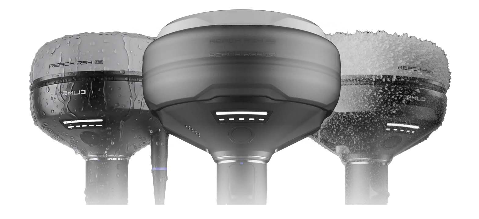
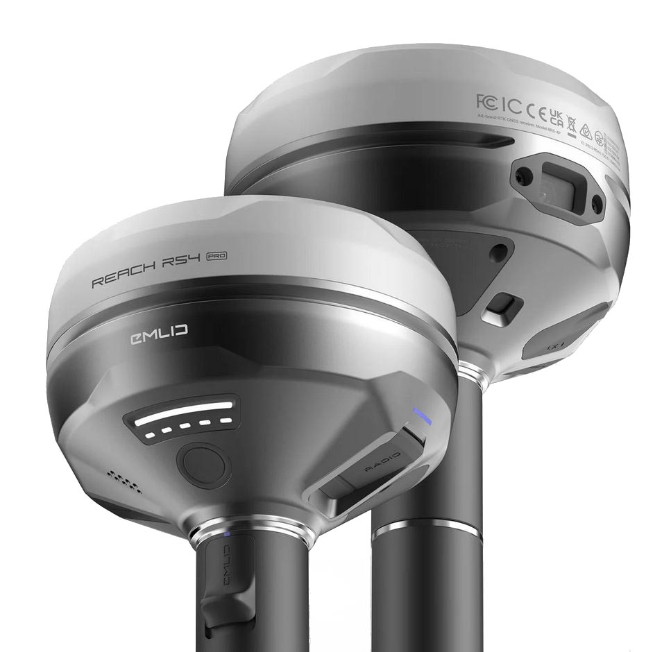
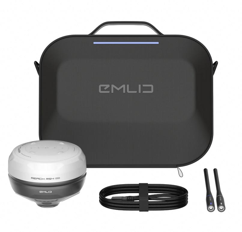
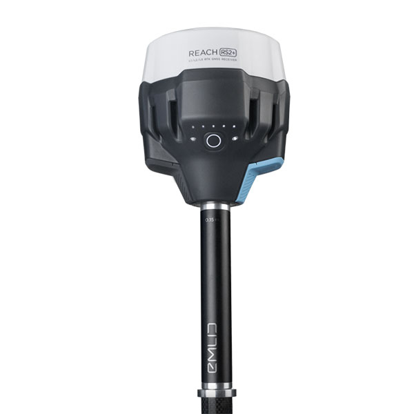
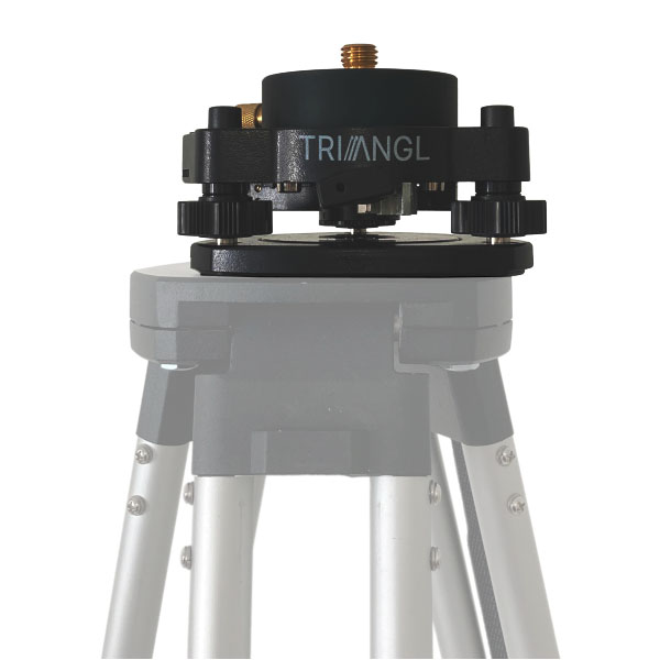
Emlid RS4 PRO, the new generation all-band receiver, equipped with a dual camera
The Emlid RS4 PRO now features a groundbreaking dual integrated camera system. This state-of-the-art technology delivers unparalleled visual precision in the field, enabling users to accurately position points with speed and confidence. Beyond traditional surveying, the system allows for remote, no-contact point capture—even in challenging or inaccessible environments. Designed for professionals who demand excellence, the RS4 PRO redefines the standards of modern geopositioning, combining innovation, efficiency, and reliability.
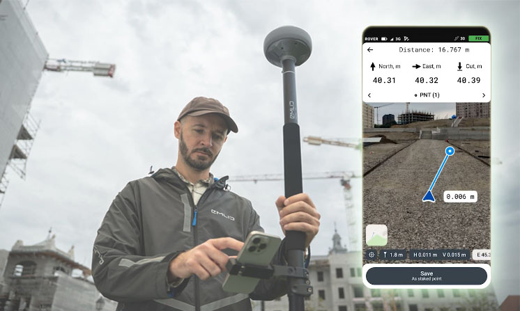
Augmented reality-assisted staking: precision and time saving in the field
With the RS4 Pro, staking out becomes an intuitive visual experience. Instead of following coordinates on a map, your designs are directly overlaid onto the terrain using augmented reality, showing you exactly where to place each point. The system features dynamic navigation, automatic target display, cut-and-fill indicators, and rapid point switching—allowing you to seamlessly move from one stakeout to the next without interruption. This visual guidance empowers teams to work faster and with greater precision, even on complex sites or roadway projects.
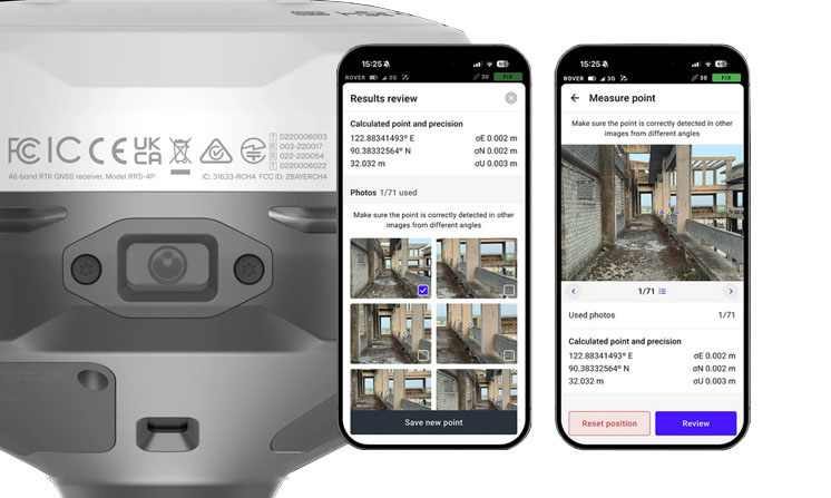
Access difficult or dangerous areas with remote camera measurement
Even when you can’t place the pole directly on a point, the RS4 Pro allows you to measure it with precision. Using its integrated cameras, you can capture points located on building facades, behind fences, across busy roads, or in any hard-to-reach or hazardous area. This saves you valuable time by eliminating the need for a total station setup, while also avoiding unnecessary movement or risky situations. The RS4 Pro makes your surveys faster, safer, and just as reliable as ever.
Reliable accuracy, even under plant cover or in dense environments
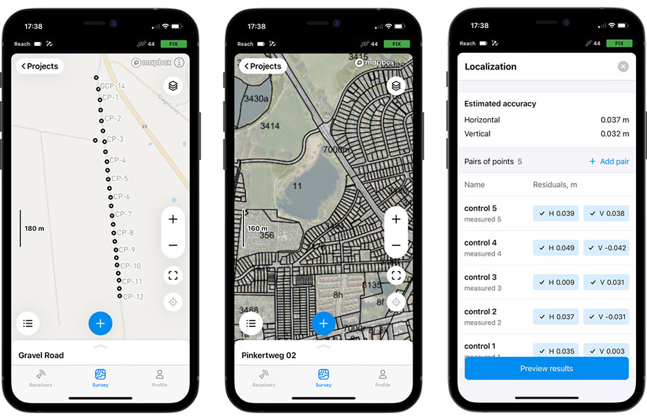
The Reach RS4 Pro delivers centimeter-level accuracy, even in complex and challenging environments such as dense forests or urban canyons. With full support for all GNSS constellations—including GPS, GLONASS, Galileo, BeiDou, and more—as well as all frequencies, including L5 and L6 bands, it effectively resists multipath effects and interference. Equipped with 672 channels, the RS4 Pro can connect to over 40 satellites simultaneously, ensuring rapid signal acquisition and optimal positioning reliability, even in the most demanding conditions.
With Point Collection, you can create fully customized projects by recording points enriched with personalized attributes and detailed descriptions tailored to the specific conditions of each situation. You also have the flexibility to define precise collection rules, such as setting a minimum logging duration to ensure consistent data quality. Data capture is both fast and intuitive, thanks to the clean, user-friendly interface of the Emlid Flow application, designed with the familiar look and feel of popular consumer mapping apps.
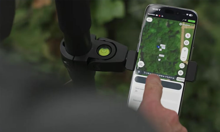
When it comes to navigation, Emlid Flow provides real-time guidance to help you easily locate and revisit your recorded points. As you approach within 50 centimeters of a point, the app automatically switches to a target view. At this stage, you can fine-tune the receiver’s position by following the visual indicators on the screen until the display turns green, confirming that you are perfectly aligned with the target point.
Finally, for GNSS data logging, you can choose to record data in real time or save it for post-processing. The application supports both NMEA and RINEX formats, giving you the flexibility to adapt your workflow depending on whether you need instant positioning data or high-precision results after processing.