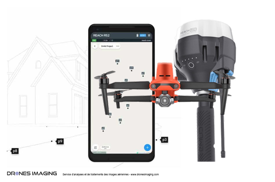
AERIAL IMAGES PROCESSING AND ANALYSIS SERVICE Expand your activity and multiply the volume of your air services thanks to the know-how of a tailor-made company with a complete range of solutions Post-processing and photogrammetry Our analysis and post-processing services To meet market needs, Drones Imaging offers a full range of post-processing solutions. Use cases and services provided Through our different use cases, discover our post-processing experience and all of your professional outlets Photogrammetry Training Center Drones Imaging, the photogrammetry training center specialized to measurement and topography professions Our products in store Agisoft Metashape photogrammetry software Agrowing multispectral sensors EMLID RTK GNSS Receivers and Accessories They trust us