Le Castellet – Levé et plan topographique du circuit automobile Paul Ricard réalisé par drone et photogrammétrie aérienne.
Le Castellet - Levé et plan topographique du circuit automobile Paul Ricard réalisé par drone et photogrammétrie aérienne
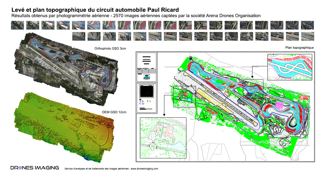
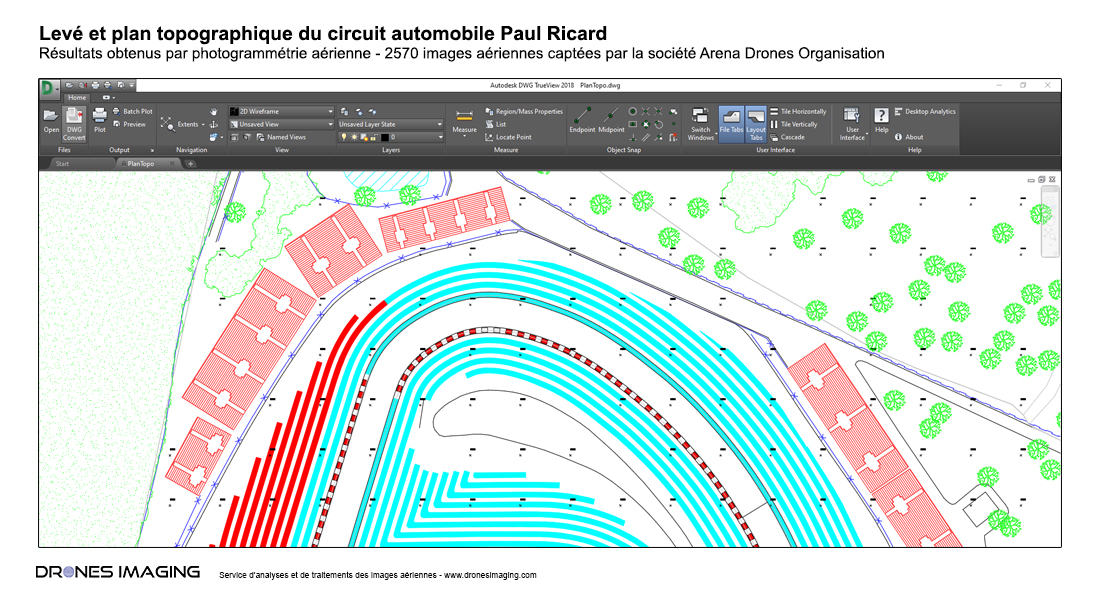
Réalisation du plan topographique Autocad sur une surface de 270ha à partir de l’orthophoto et du MNS (modèle numérique de surface). Résultats obtenus à partir de 2570 clichés aériens captés par la société Arena Drones Organisation.
Plan d'exploitation réglementaire du circuit Paul Ricard
Basse résolution - extrait du plan Autocad au format DWG
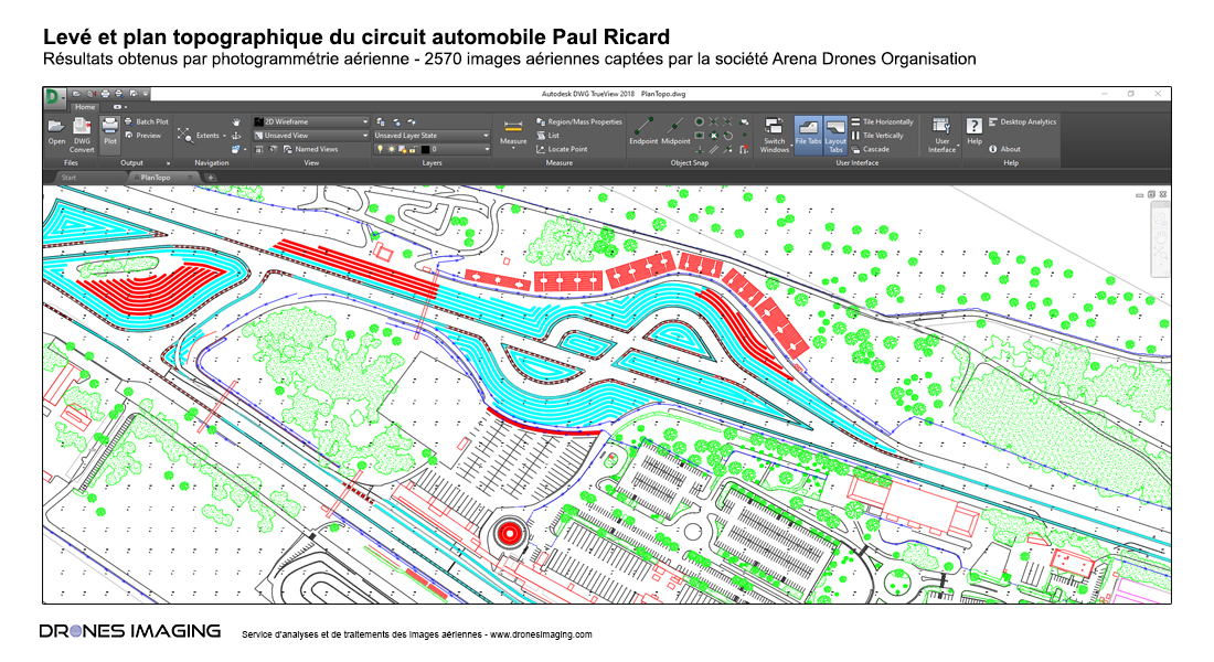
Moyenne résolution - extrait du plan Autocad au format DWG
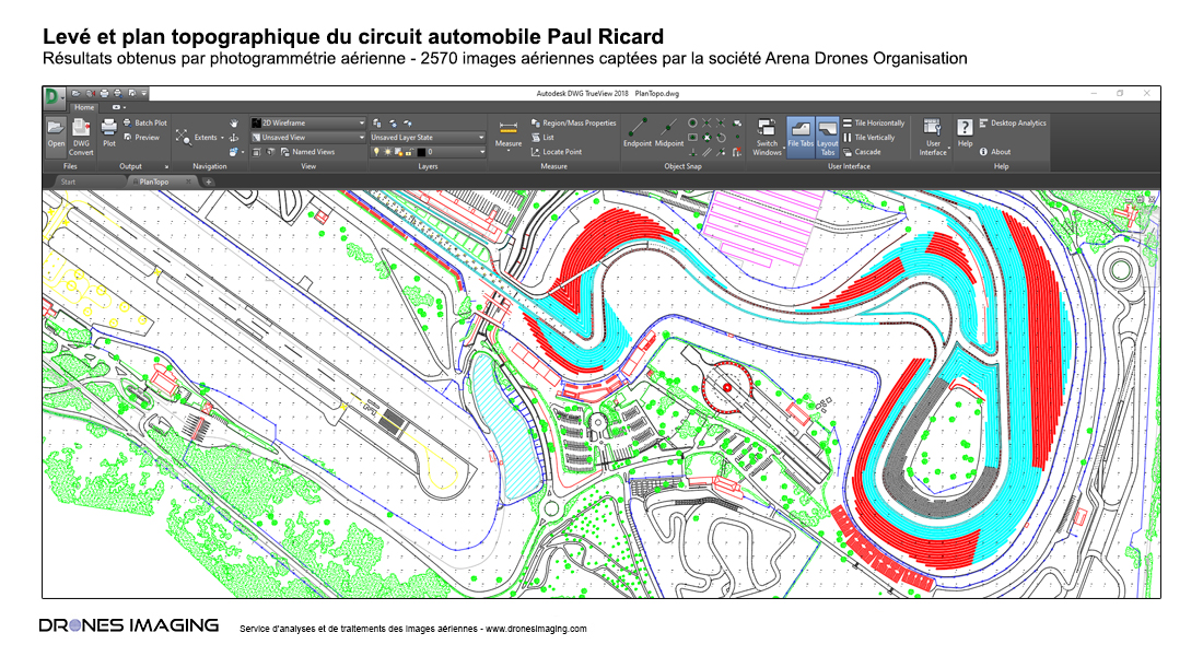
Haute résolution - extrait du plan Autocad au format DWG
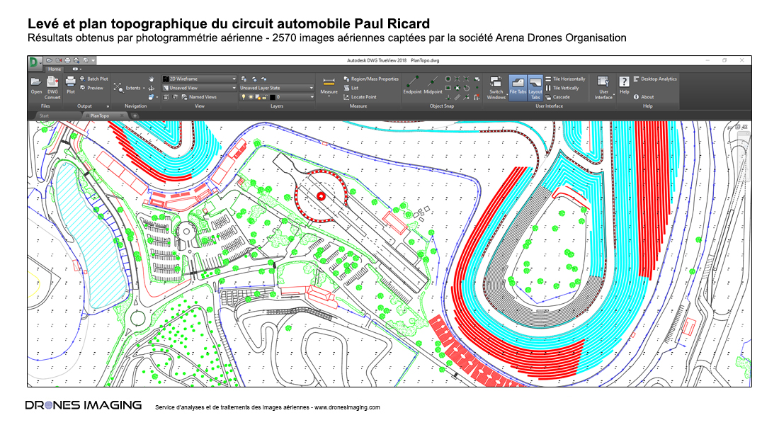
Ultra haute résolution - extrait du plan Autocad au format DWG
Plan topographique réalisé aux formats Pdf et Dwg pour la remise à jour du site et l’étude des futurs travaux de resurfaçage qui débutent ce mois-ci: nouvel enrobé concernant principalement les virages et refonte des pentes pour éliminer les problématiques de hauteur d’eau.